 MapInfo Professional and Flamory
Flamory provides the following integration abilities:
- Create and use window snapshots for MapInfo Professional
- Take and edit MapInfo Professional screenshots
- Automatically copy selected text from MapInfo Professional and save it to Flamory history
To automate your day-to-day MapInfo Professional tasks, use the Nekton automation platform. Describe your workflow in plain language, and get it automated using AI.
Screenshot editing
Flamory helps you capture and store screenshots from MapInfo Professional by pressing a single hotkey. It will be saved to a history, so you can continue doing your tasks without interruptions. Later, you can edit the screenshot: crop, resize, add labels and highlights. After that, you can paste the screenshot into any other document or e-mail message.
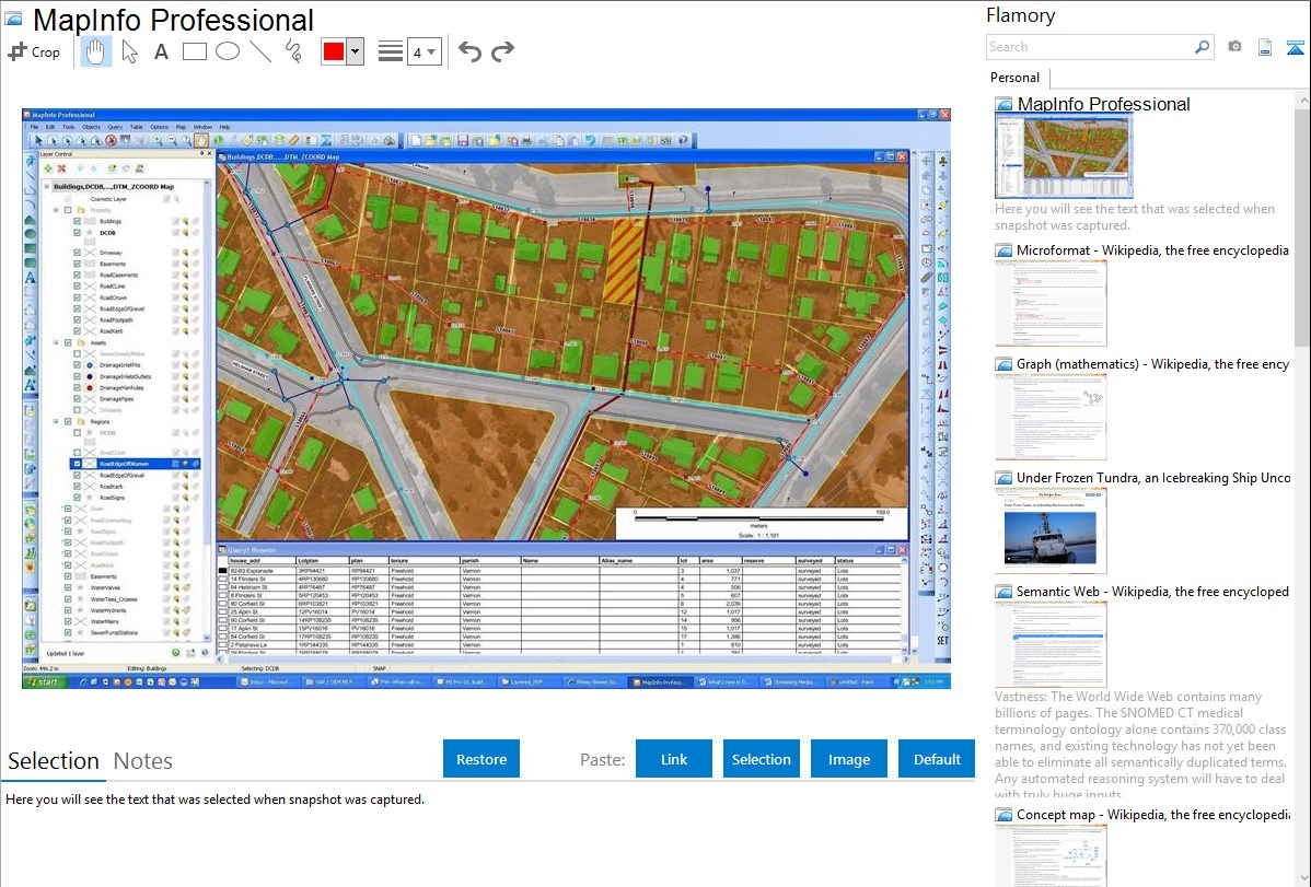
Here is how MapInfo Professional snapshot can look like. Get Flamory and try this on your computer.
Application info
MapInfo Professional is a powerful, functionally rich desktop mapping application from Pitney Bowes MapInfo, designed to enable organisations to solve business problems that have a geographical element.
Users can make use of a full range of sophisticated tools to map, analyse, query and compare information over both space and time, making use of data from databases, WMS/WFS and numerous GIS formats without the need for translation.
MapInfo Professional is also known as MapInfo. Integration level may vary depending on the application version and other factors. Make sure that user are using recent version of MapInfo Professional. Please contact us if you have different integration experience.